The Patriot Files Forums The Patriot Files Forums |
| Home | Forums | Gallery | Register | Video Directory | FAQ | Members List | Calendar | Games | Today's Posts | Search | Chat Room |
|
||||
Before enlarging, click photo to ensure maximum resolution.
|
| |||||||||||||||||||||||||||||||||||||||


 Photo Details
|
|
|
David Administrator Registered: August 2001 Posts: 46,799  |
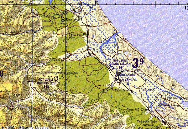
Topographical Map of Quang Tri Province
|
| · Date: Mon January 6, 2003 · Views: 2194 · Filesize: 275.8kb, 144.0kb · Dimensions: 640 x 442 · |
|
| Additional Info | |
| Keywords: Topographical Map of Quan | |


     |